With lots of rain on the way, South Florida will likely see flooding. But where?
READ MORE
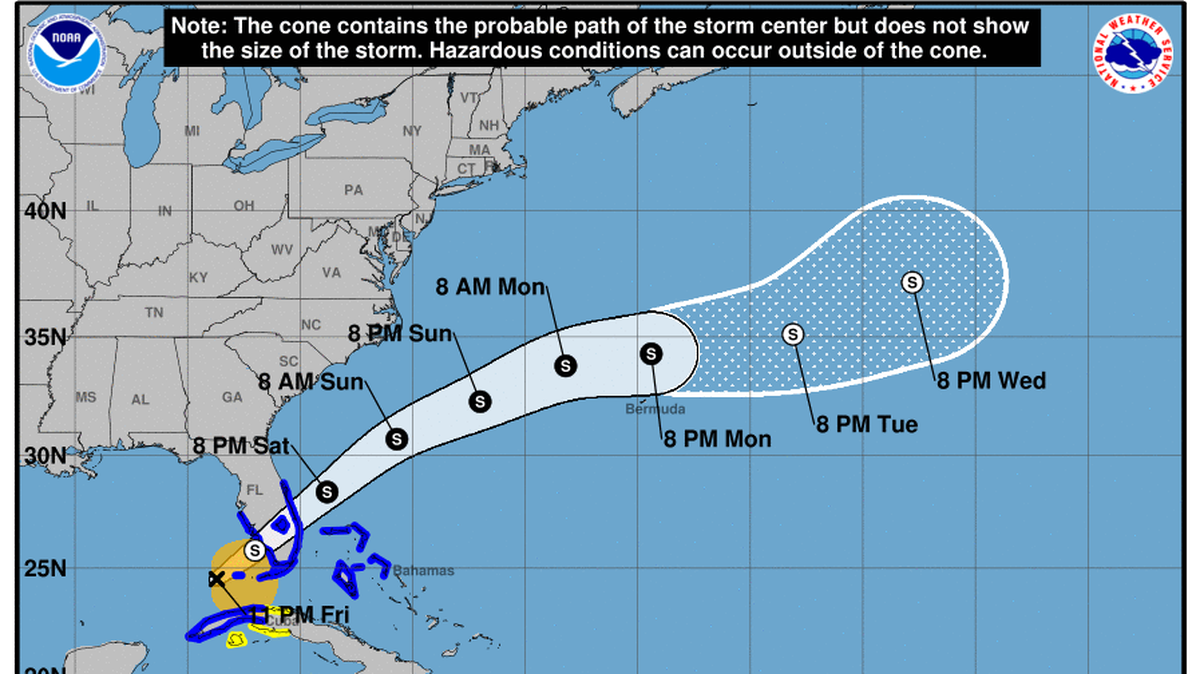
Tropical weather in South Florida
How Florida will be affected by a tropical system heading to the state from the Gulf of Mexico.
Expand All
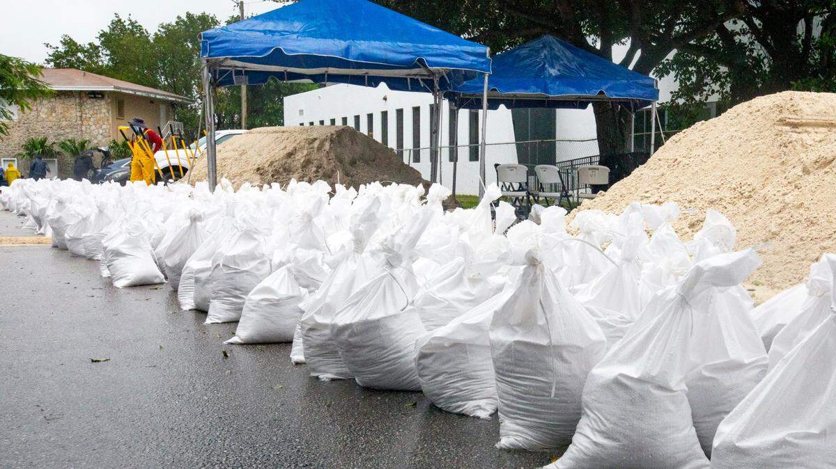
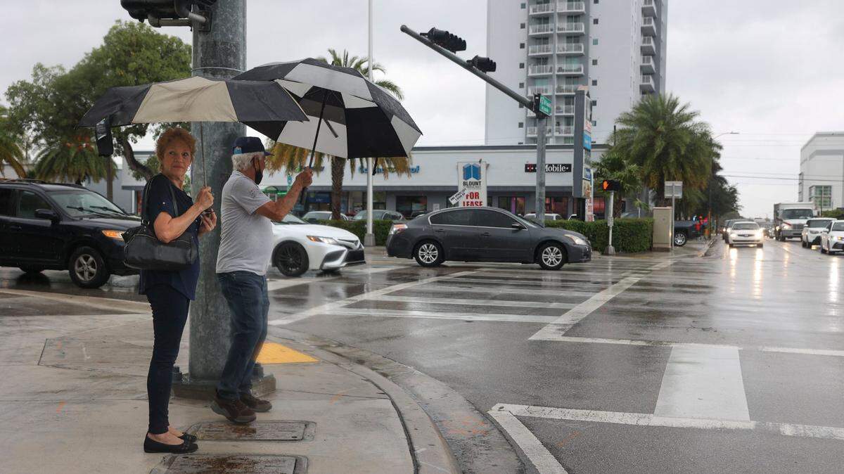
Something is headed toward South Florida, and whether it’s a named tropical storm or not, we’re in for some serious rain.
And when it rains in Miami-Dade, it floods.
But where?
Longtime residents usually know what streets, intersections and parks are likely to become lakes after a summer deluge — or a fall king tide. But just because a place flooded in the past doesn’t mean it will flood again, said Randy Smith, spokesman for the South Florida Water Management District.
“It really depends on where the rain hits, where the heaviest amount of rain falls, which direction the storm is headed,” he said.
READ MORE: Worried about a tropical storm? A deluge is coming to Miami and the Keys
For now, the forecast over the next couple of days calls for four to eight inches of rainfall, all within the range that South Florida’s drainage system was designed to handle. Some isolated spots could see up to 10 inches, which could lead to more severe and long-lasting flooding.
It’s still unclear exactly where the worst of the rainfall will occur, or how fast it will come. But there are some spots in Miami-Dade that regularly go underwater in a heavy rainstorm, despite the tens of millions the county is spending to flood-proof against sea level rise, so it might be smart to avoid parking your car there or driving through them.
There’s no one map of every flood-prone spot in the county. Instead, there’s a patchwork of flood maps and lists of problem areas that different cities have pulled together.
For cities and communities not on the list, there’s always the county’s flooding vulnerability tool, a map that shows an area’s elevation. Generally, lower elevation areas experience more flooding.
And inland areas aren’t off the hook either. In Tropical Storm Eta in 2020, North Miami-Dade and South Broward saw some of the worst flooding in years after the tropical storm sat and dumped rain there for days.
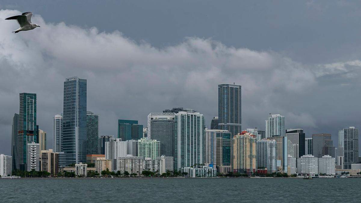
Miami
The city of Miami is working to track flood complaints through a paid partnership with ISeeChange, where residents can submit photos and videos of flooding in their neighborhoods.
From those self-reported posts, the city provided a list of spots that experience routine flooding during high tides or strong rainstorms:
- Coconut Grove: South Bayshore Drive and streets south of it
- Brickell: Brickell Bay Drrive, Brickell Avenue, Mary Brickell Village area
- Downtown and Edgewater: Biscayne Blvd south of NE 20th Street, North Bayshore Drive along Margaret Pace Park, streets east of Biscayne Boulevard between I-395 and I-195
- Miami River: South River Drive along the Sewell Park area
- Melrose: NW 36th Street and streets south of it, east of NW 25th Avenue
- Upper Eastside: Morningside neighborhood, Shorecrest neighborhood east of NE 10th Avenue
“Low-lying areas, especially areas in proximity to waterways, are vulnerable to flooding during rain events and city of Miami staff stands ready to respond. Residents should be mindful about driving through these areas, leaving cars parked on the street, and wading through flood waters as there can be unseen hazards,” the city said in a statement.
Aaron DeMayo, of Future Vision Studio, lives in downtown Miami and has spent the last few years chronically the perpetually flooded spots in the neighborhood. He created a map of a slice of downtown with some problem spots highlighted.

Farther north, Miami-Dade, Miami and El Portal worked together to map flooding problem areas in the Little River neighborhood. Areas near the river show up as flood prone, as well as some spots in the Shorecrest neighborhood.

Miami Beach
The city of Miami Beach sends out alerts to residents ahead of the annual highest tides of the year, the king tides. The bulletins include tips for avoiding flooding, like moving your car to a city garage or bridge. They also have a list of spots with known flood problems, including:
- Indian Creek Drive from 29th to 41st streets
- West Avenue and Eighth Street
- First Street and Alton Road
- South Pointe Drive and Washington Avenue
- 44th Street and Post Avenue (Muss Park) areas
- North Bay Road from 43rd to 63rd streets
- Bonita Drive
- Marseille Drive and Rue Notre Dame
- Crespi Boulevard and 79 Terrace
Surfside
The tiny town of Surfside has big flooding problems. So big that more than one city official has floated the idea of installing “no wake” signs on some residential streets.
In 2019, consultants from Atkins Engineering worked with the city to map flooding hot spots after heavy rains.

This story was originally published June 2, 2022 at 4:33 PM.