What’s the best way to get across the bay to the beach? Your guide to the causeways
READ MORE
Driver’s survival guide
Details on highway construction projects, how to get around gridlock, where to get cheap gas, finding other ways besides a car to get around town, and a guide to crossing the Intracoastal.
Expand All
When will that nightmare road project end? Your guide to construction on Miami highways
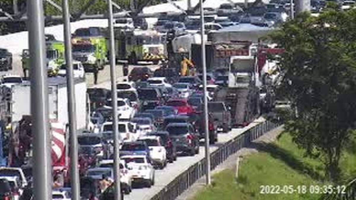
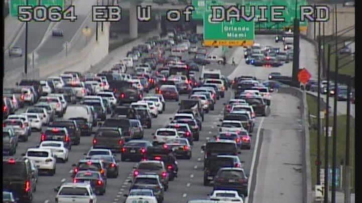
Do South Florida traffic jams drive you crazy? There are ways to get around gridlock
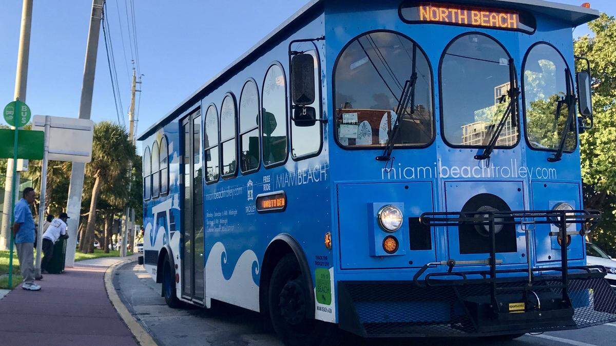
How to find cheap gas near you — and options to get around South Florida without a car
What’s the best way to get across the bay to the beach? Your guide to the causeways
Which highways have a SunPass discount in Miami and the rest of Florida? What to know
What’s the best way to cross the bay? On a causeway, of course.
Bridges connecting the mainland to the barrier islands of Miami Beach and beyond take cars and bicyclists and pedestrians across the Intracoastal. Some are fixed spans and some have drawbridges that go up and down. Some will cost you and others are free.
Besides their varying routes, each causeway is different in character.
The modern MacArthur soars over the water, offers spectacular views, connects to PortMiami via tunnel and drops travelers into the heart of South Beach.
The Venetian is a step back in time, with its decorative railings and retro bridge tender quarters. The Tuttle feels like a superhighway carved from the bay. And the 79th Street Causeway feels more like a route through a small town. The Broad and Lehman causeways offer breathtaking views of Biscayne Bay.
READ MORE: When do the bridges go up and down?
Here is a guide to each of the causeways to help you plan your trip:
MacArthur Causeway
Toll: None
Built: 1920, rebuilt in 1959-61, drawbridge replaced as a fixed span in 1993-96.
Route: From 836 in Miami to Fifth Street in Miami Beach
Alternate name: Interstate 395
History: Named for World War II Gen. Douglas MacArthur. Previous drawbridge was a low-level span opened in 1961 with two lanes in each direction. Due to its low height, the bridge had to be raised and lowered frequently. The two fixed spans built in the 1990s are 72 feet high from peak to bay and leave space to accommodate a possible mass transit line.

Venetian Causeway
Toll: $2.25 SunPass, $3 toll by plate
Built: 1926, restored in 1995-99 and 2016, with repairs through the years
Route: 15th Street in Miami to 17th Street/Dade Boulevard in Miami Beach
History: Miami-Dade bought it in 1950 for $3.8 million. The reconstruction cost is an estimated $33.7 million. It cost about $2 million to build the Venetian in 1925. In the early 1960s, the first high-rises were built on the Venetian Isles, first on the south side of Belle Island. Over time, the number of apartment buildings increased on Belle and Biscayne islands.

Julia Tuttle Causeway
Toll: None
Built: Opened in 1959.
Route: Six-lane highway with no drawbridges to slow traffic. Runs from the southern terminus of the Airport Expressway and empties onto 41st Street in Miami Beach, and connects with Alton Road.
Alternative name: Interstate 195
History: Namesake Julia Tuttle earned her place in Florida history by giving railroad magnate Henry S. Flagler 100 acres of land in exchange for Flagler extending his railroad line from Palm Beach to Miami.

79th Street Causeway
Toll: None, unless you are tempted to stop at one of the restaurants along the stretch and spend some money.
Built: Opened in 1928 and rebuilt in 1948. The bridge was widened and bolstered in the late 1960s and early 1970s but since then has needed only minor repairs.
Route: Northeast 79th Street in Miami through North Bay Village to 71st Street in Miami Beach.
Alternative name: John F. Kennedy Causeway
History: Best known for its raucous reputation in the 1960s as a late-night hangout for entertainers and mobsters. Restaurants and watering holes of the past along the stretch included the Place for Steak, the Bonfire and Happy’s Stork Lounge. There was even a 24-hour beauty salon called the Head Hunter. Today, the causeway runs through more of a family-oriented town whose best known restaurant is Shuckers.

Other causeways
If you’re looking to cross Biscayne Bay to get from Miami to Miami Beach, you might think to take any of the four causeways that span the water from city to city. But each of those roadways can have issues: traffic, tolls, stoplights, backups, construction.
Three other Miami-Dade causeways also connect the mainland to the beach areas. Yes, they run north of the central Miami/Beach city limits, but they offer similar views of the Intracoastal and can be the road less traveled.
Here’s a breakdown of the Broad, Sunny Isles Beach and Lehman causeways:
Broad Causeway
Toll: $1.50 for SunPass and $2 for toll-by-plate. There is no longer a staffed toll booth.
Built: Opened in 1951.
Route: Runs from Northeast 123rd Street in North Miami and becomes Kane Concourse in Bay Harbor Islands and empties onto 96th Street on the Surfside-Bal Harbour border.
History: The causeway is named for lawyer and developer Shepard Broad, the first mayor of Bay Harbor Islands. A gas station sits in the middle of the eastbound and westbound lanes, and offers people pumping fuel stunning views of Biscayne Bay on both sides.

Sunny Isles Causeway
Toll: None
Built: Widened and renovated in 1985-89.
Route: Runs from Northeast 163rd Street east through Eastern Shores and past Oleta River State Park, crosses the Intracoastal and ends on A1A in Sunny Isles Beach.
Alternate name: 163rd Street Causeway, State Road 826
History: The Sunny Isles Beach side of the causeway, on the eastern side, used to be lined with restaurants and shops, including the popular 1970s and ’80s teen hangout My Pi pizza and the popular Lime House Chinese restaurant. When the road was widened, those shops were demolished. In the past few years, luxury high-rise condos, some with retail on the first floors, have been built on the eastern edge of the street leading to the causeway.
William Lehman Causeway
Toll: None
Built: Opened 1983 after 14 years of design.
Route: Begins on the mainland at Northeast 192nd Street just south of the Aventura Mall, runs for two miles and spans the Intracoastal before ending at A1A in Sunny Isles Beach.
Alternate name: State Road 856
History: Named after former Congressman William Lehman and features a 65-foot crest. It was the first major causeway to open in Miami-Dade County since the Julia Tuttle in 1960.