
Do you live in a hurricane evacuation zone? Check the maps for South Florida
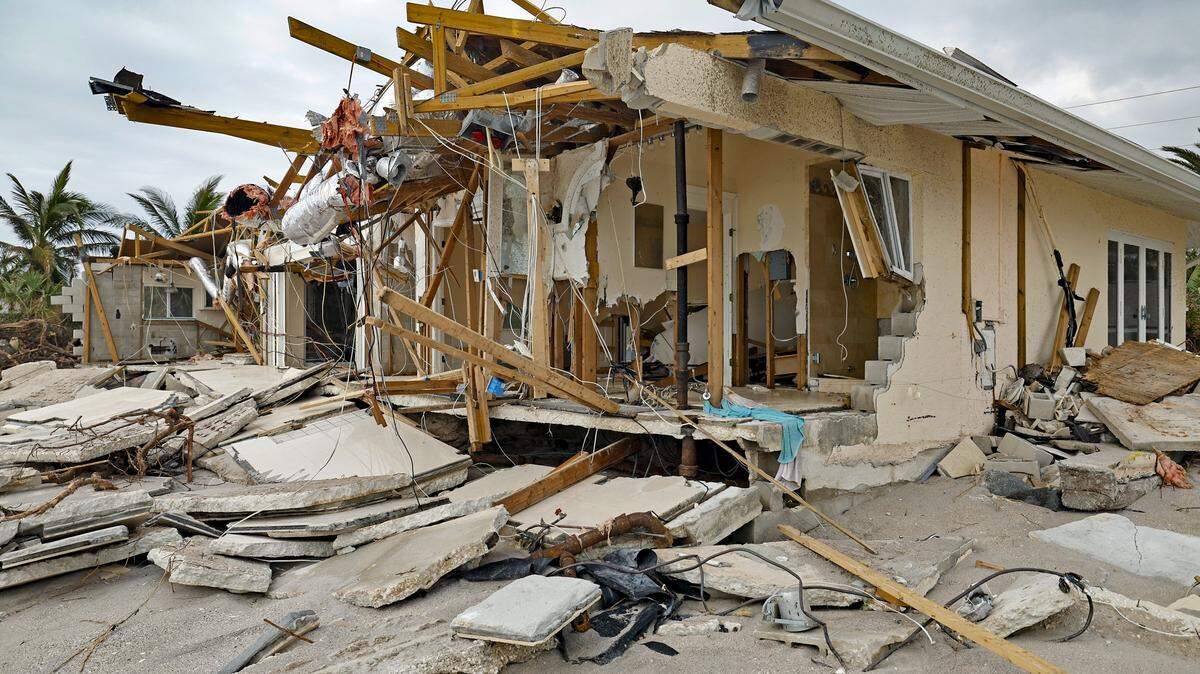
Can you stay safe at home during the threat of a hurricane?
It depends on where you live.
If you have an apartment in Miami Beach a block from the ocean, you’re likely among the first to undergo an evacuation order. If you’re tucked into a South Florida suburb a dozen miles from the coast, you may not even have to leave your home.
Hurricane season runs from June 1 through Nov. 30, and now is the time to check whether you live in an evacuation zone. If you do, you’ll want to make some plans to locate a public shelter or a family member or friend who lives out of harm’s way.
In 2017’s Hurricane Irma, more than 6 million people in Florida were placed under an evacuation order. Not everyone evacuates at once in a storm. Each county has its own guidelines for what circumstances require areas to evacuate.
Here’s what to know in South Florida:
Miami-Dade County
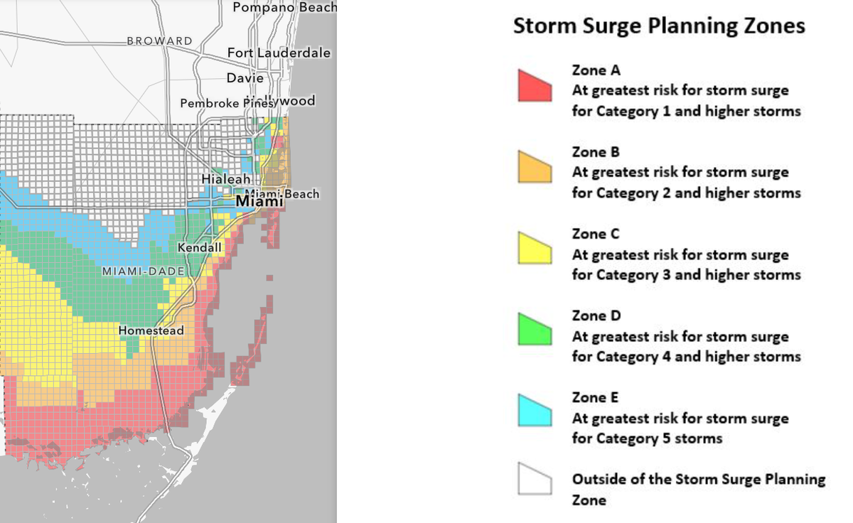
It’s important to know your zone, so in Miami-Dade you can simply put your address into the county’s Storm Surge Planning Zone site and see which category hurricane will send you to an emergency shelter, a hotel, or a friend’s house. A list of public shelters is available on the Miami-Dade County site when an evacuation is announced.
The county Storm Surge Planning site separates areas into zones A to E. Zone A represents areas susceptible to storm surges in a Category 1 storm and Zone E the same for a Category 5.
Broward County
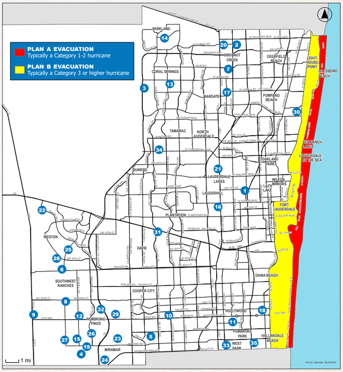
In Broward, the evacuation plan is split into two zones. Plan A affects those east of the Intracoastal Waterway, with evacuation in a Category 1 or 2 hurricane. Plan B affects those east of Federal Highway U.S. 1, requiring evacuation in a Category 3 and higher.
Residents can check if they are in an evacuation zone, as well as learn what to do in a storm, on the Broward County site’s Hurricane Evacuation Information page.
Broward also includes a list of general population and pet-friendly shelters in its Emergency Shelter Map.
Florida Keys
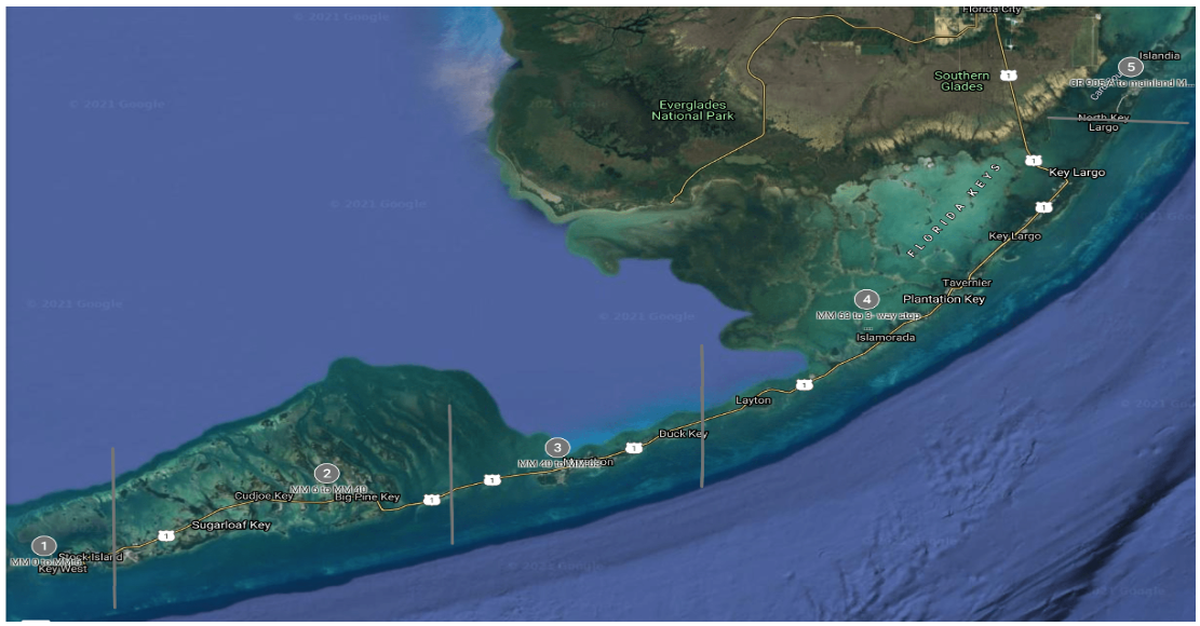
For evacuation information on the Keys, check Monroe County’s Emergency Management site. Pressing into the provided map opens up a copy of the Florida Keys Zone Map. Monroe recognizes five zones for evacuation
Four emergency shelters for Category 1 and 2 hurricanes — pet-friendly Key West High School, Sugarloaf School, Marathon High School and Coral Shores High School — will open in the Keys. For Category 3, 4 or 5 storms, Monroe residents and tourists must seek shelter on the mainland — no Keys shelters will open. In past years, FIU in West Miami-Dade served as the Keys shelter in major storms.
Florida
The Florida Division of Emergency Management’s “Know Your Zone” map allows you to search up any location in the state for an evacuation level.
Residents of mobile homes are often required — and if not, recommended — to evacuate regardless of their county evacuation zones. Miami-Dade County recommends that “people on electrically dependent life sustaining medical equipment should evacuate when any hurricane evacuation order is issued.”
In 2026, NOAA predicts a 55% chance of a below-normal huricane season. The current forecast expects 8-14 named storms, with 3-6 expected to become hurricanes, as opposed to the average 14 named storms with 7 hurricanes.