Heavy rains to usher in hurricane season? See how much could fall near you
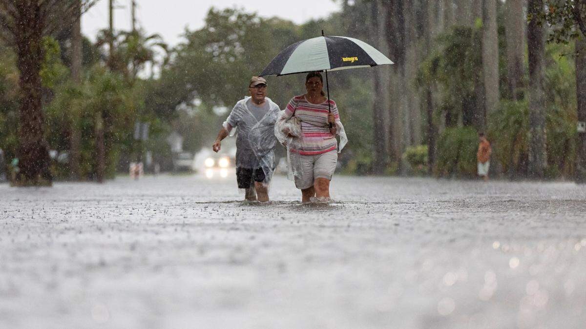
“Flash flooding” and “localized flooding” are threats that drought-challenged South Florida haven’t heard for a while.
But the region is looking at the likelihood of warnings as forecasters say the dwindling days of May into early June will be wet ones for much of the state.
Rain. A lot of it.
Forecast models hint at the possibility of several inches of rain over the next seven days, CBSNews Miami meteorologist Shane Hinton said this week post. There’s an “isolated flood risk on Thursday and Friday for metro areas of Broward and Miami-Dade,” he wrote in a Facebook post.
Consider a possible four to six inches of rain heading to the Miami area starting on Thursday, and three to five inches possible in the Keys, said Florida-based meteorologist Matt Devitt.
NOAA’s Weather Prediction Center placed South Florida under a Level 1 risk — meaning marginal risk — of excessive rainfall due to the potential for flooding on Thursday, Friday and Saturday, CBS News Miami meteorologist Lissette Gonzalez said on Tuesday.
The rainy season isn’t revving up from the June 1 start of hurricane season. There’s nothing expected in the tropics over the next seven days, the National Hurricane Center noted. Credit a front drifting south that will stall across the state this week as waves of low pressure send bands of rain and thunderstorm activity along the mostly dry state, AccuWeather forecasters say.
“Because much of the region is dealing with conditions ranging from abnormally dry to exceptional drought, the rainfall will provide much-needed relief for agriculture and water supplies,” reports AccuWeather senior meteorologist Alex Sosnowski.
Miami area rain chances
According to the National Weather Service in Miami here are the rain and storm chances from Wednesday to Monday afternoon, June 1, for the Miami-Fort Lauderdale areas.
- Wednesday: 20% daytime, 50% night. Temperatures 86 degrees high, 81 low.
- Thursday: 70% daytime, 60% night. Temperatures 85 degrees high, 80 low.
- Friday: 70% daytime, 60% night. Temperatures 86 degrees high, 80 low.
- Saturday: 70% daytime, 60% night. Temperatures 85 degrees high, 80 low.
- Sunday: 80% day and night. Temperatures 86 degrees high, 79 low.
- Monday: 80% with a high of 87 degrees.
Though Key West faces a week’s worth of rain, the rain chances run lower than the mainland, peaking at 50% Wednesday into Monday.
Coastal Miami-Dade and Broward beaches also are under a persisting rip current advisory, with dangerous conditions lasting through Wednesday evening, according to the weather service.
The flash flood threat runs for most neighborhoods from Homestead in the south to Coral Springs to the north, according to Miami Herald news partner CBS News Miami. This risk includes Kendall, Miami, Key Biscayne, Doral, Hialeah, Miami Gardens, Fort Lauderdale, Weston and Pompano Beach.
Elsewhere in Florida
In addition to the possibility of four to six inches of rain dumping on the Miami area over the next week, meteorologist Devitt says these are some other possible wet wet spots.
- Orlando, Tampa, Daytona and Pensacola: three to five inches.
- Gainesville, Tallahassee and Jacksonville: two to four inches.