One of two disturbances in the Atlantic could turn into a depression, forecasters say
READ MORE
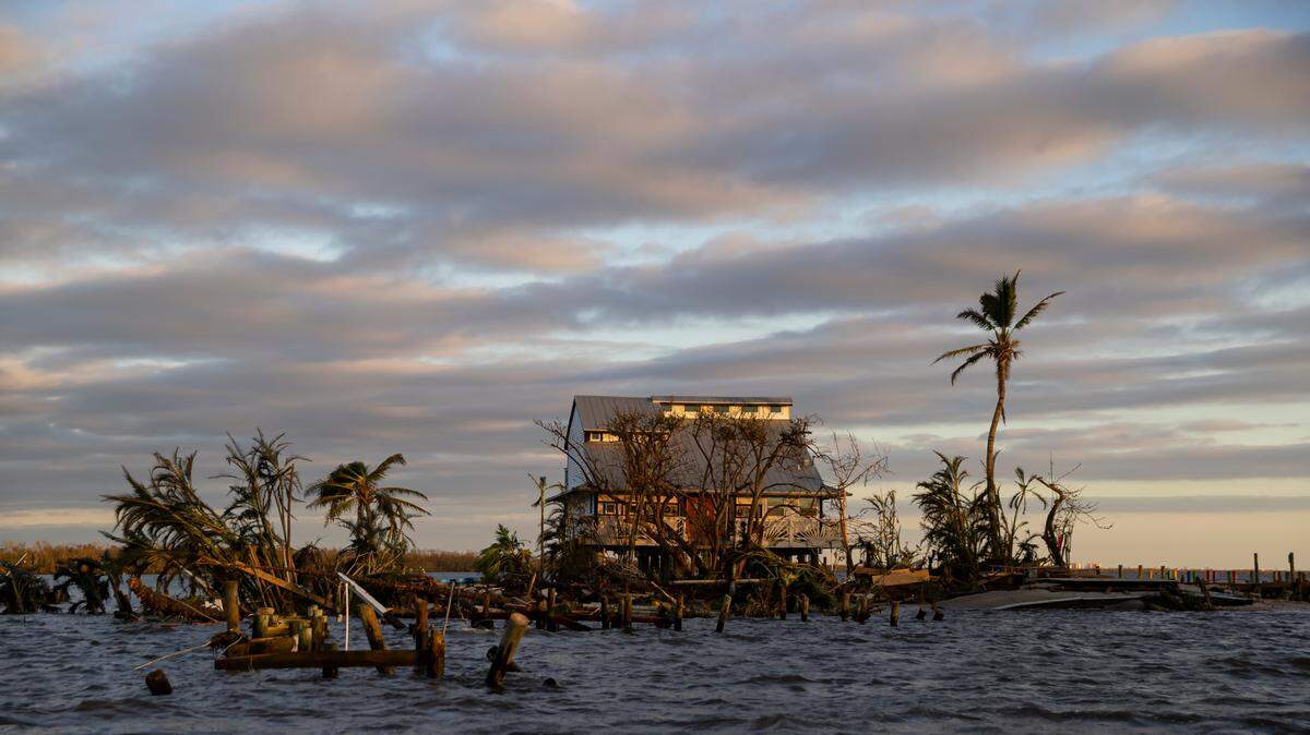
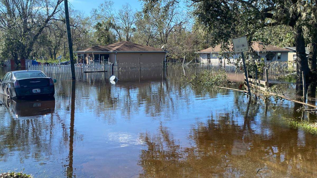
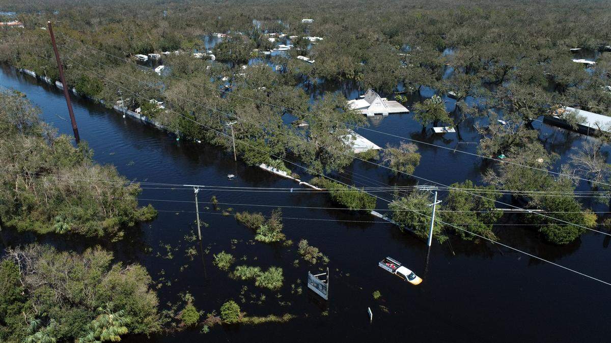
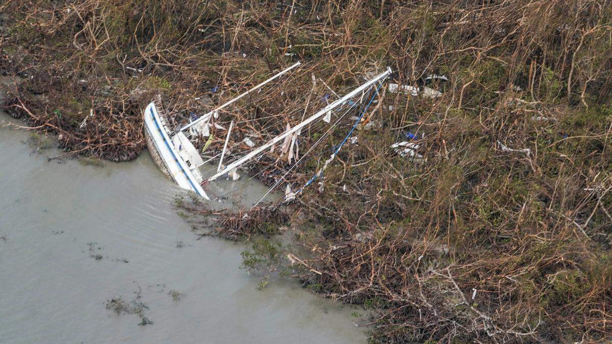
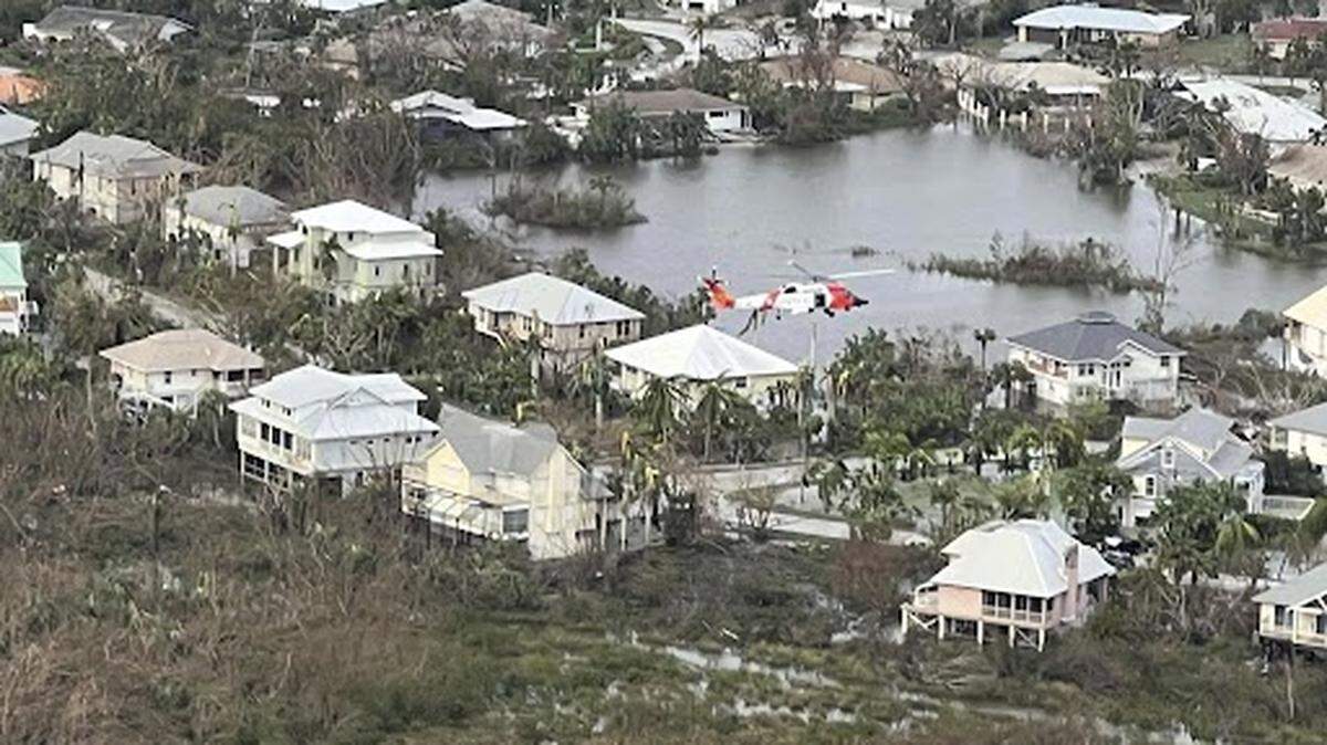
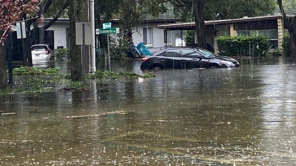
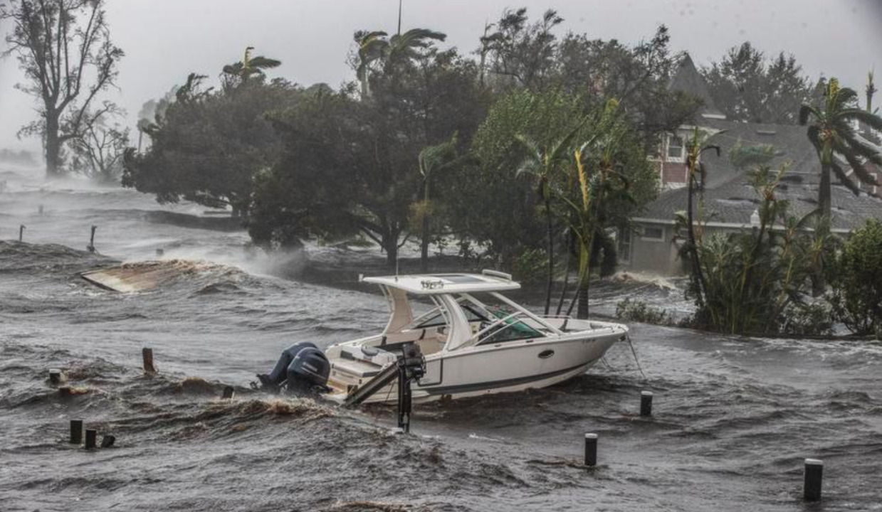
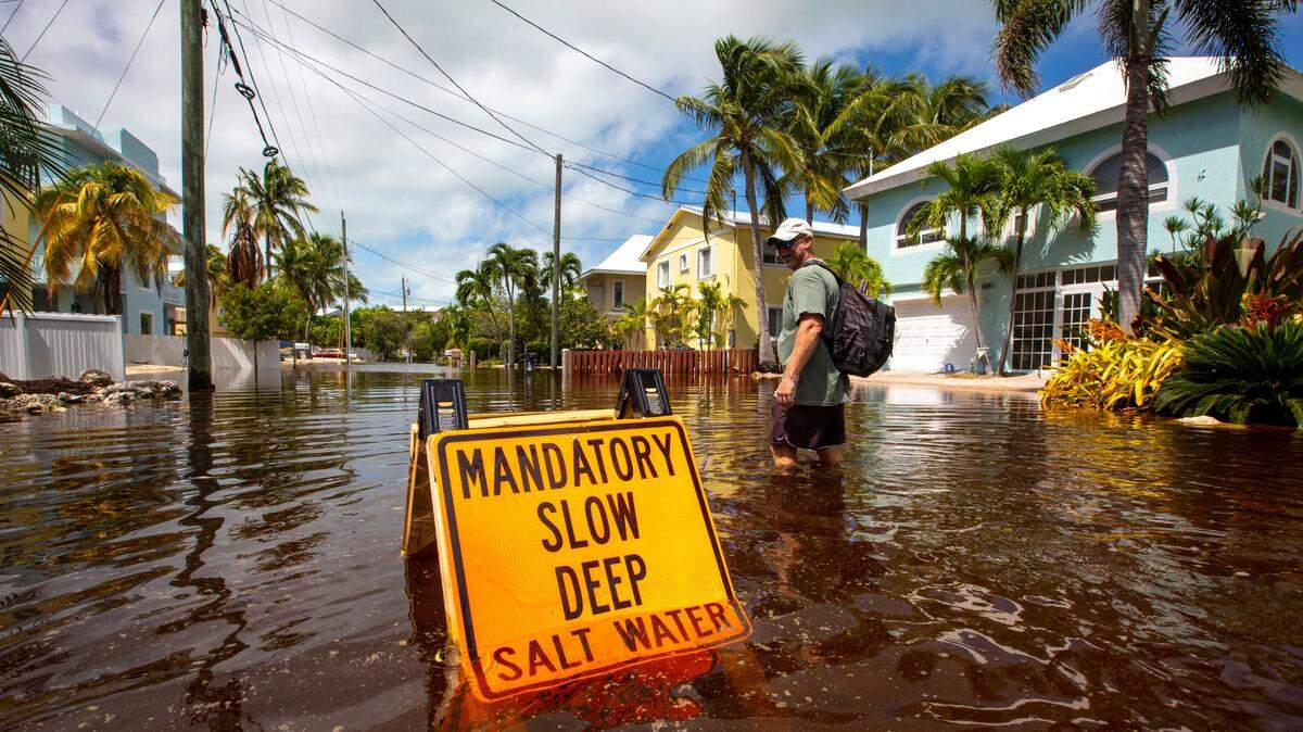
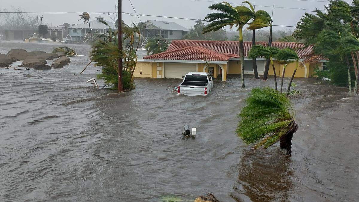
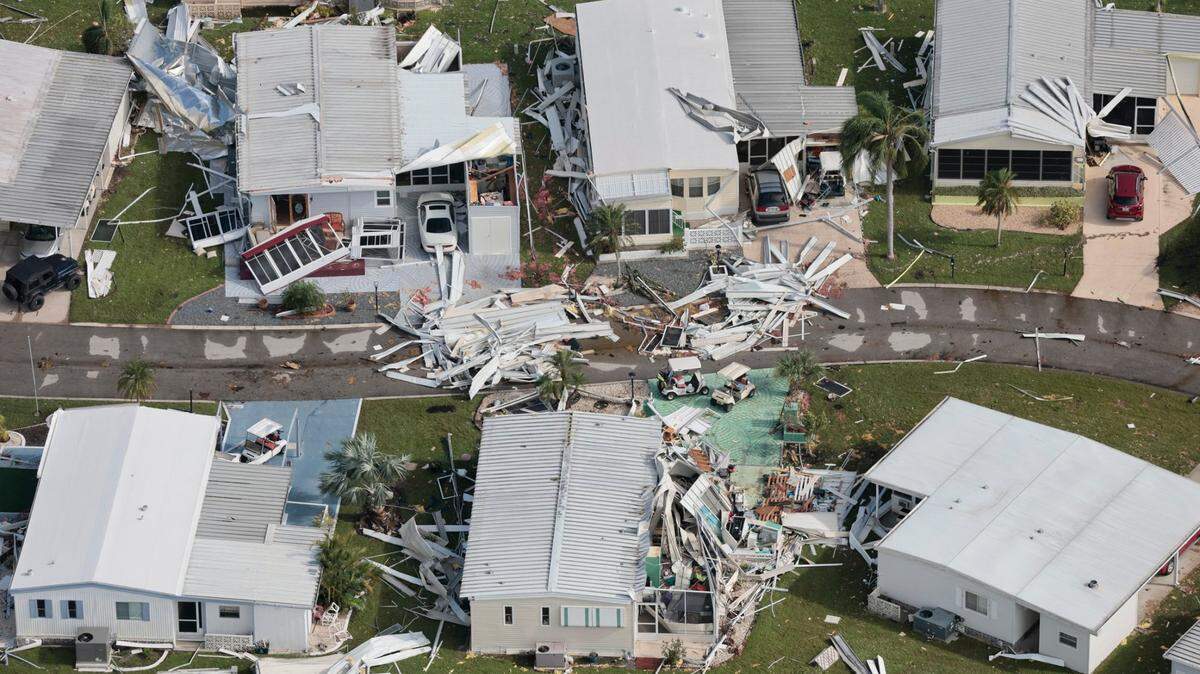
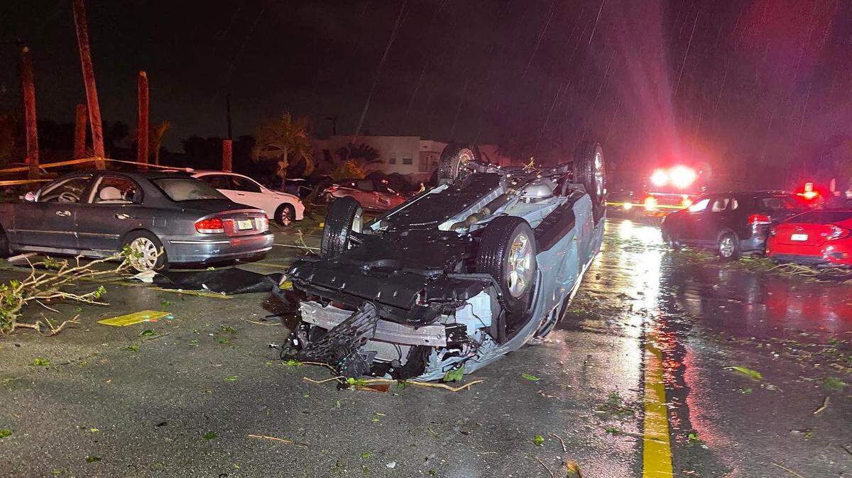
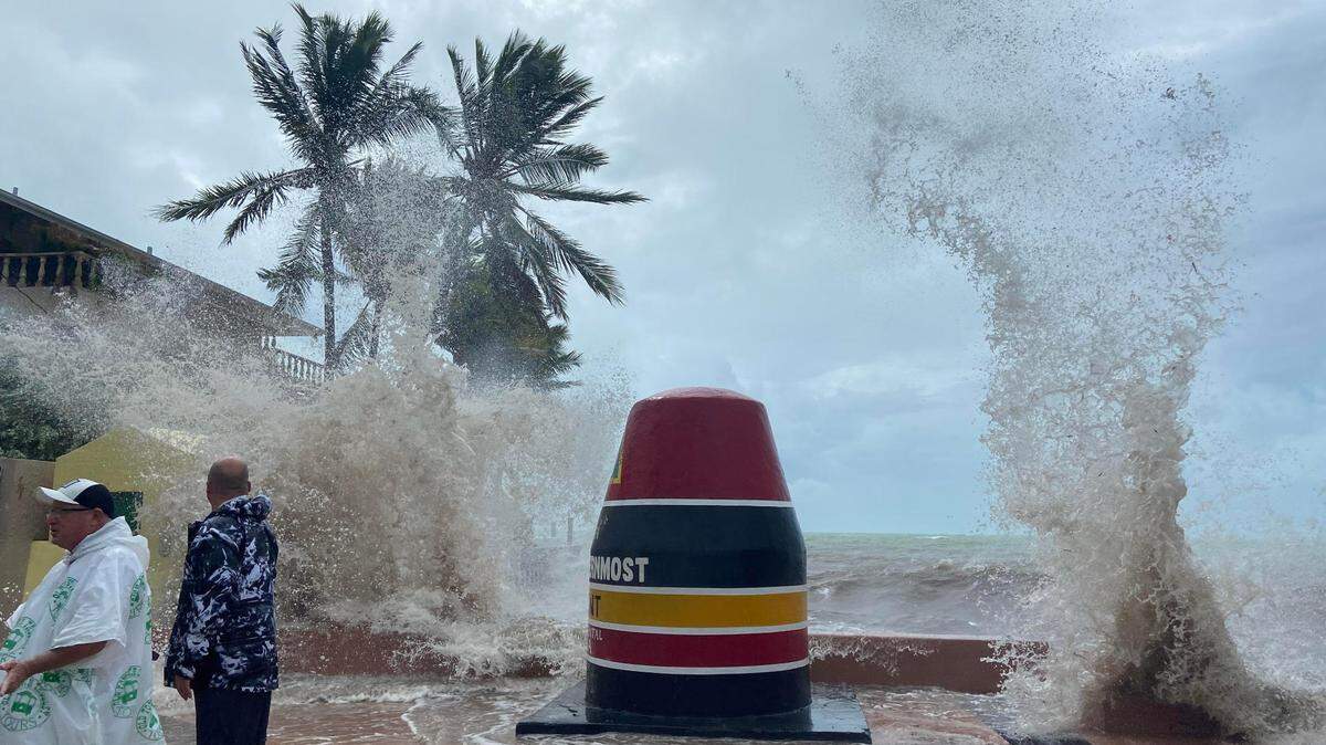
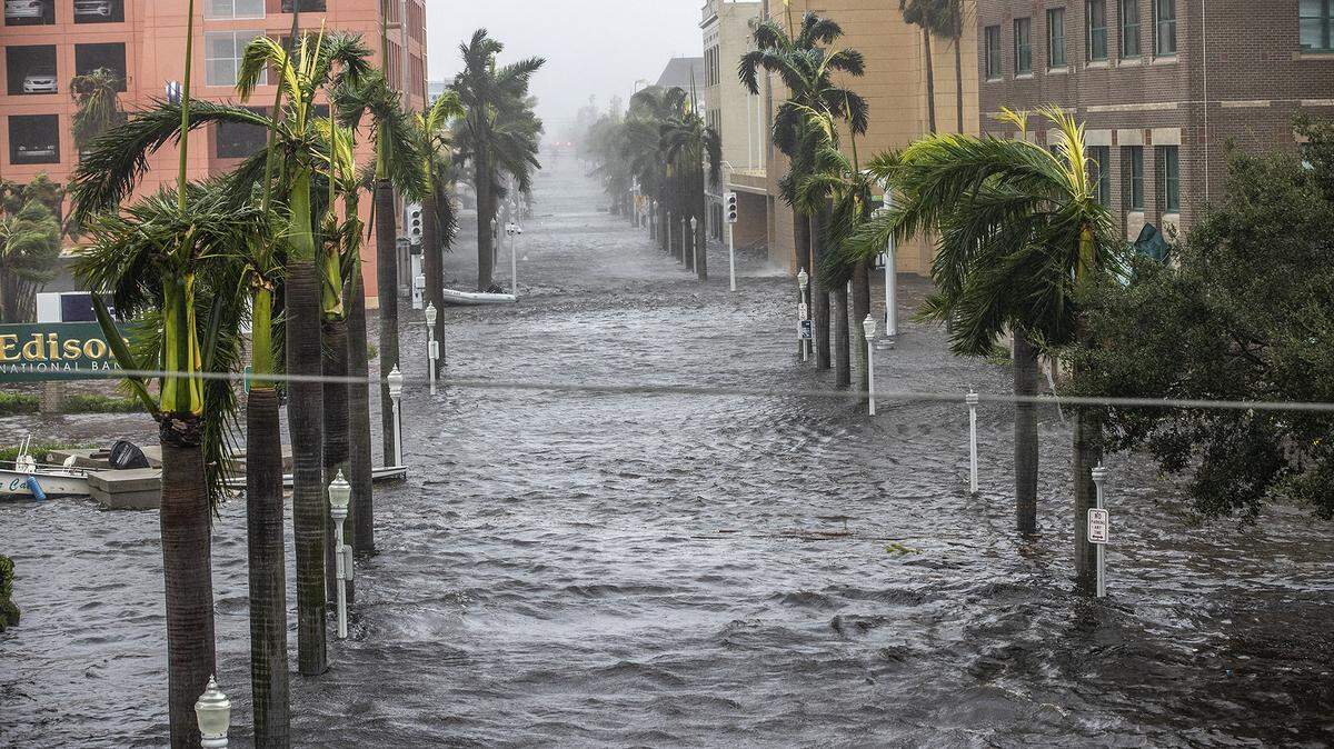
The impact of Hurricane Ian
Ian brought record-breaking storm surge highs for Key West, Fort Myers and Naples several feet above previous high water marks, and caused “catastrophic flooding” as it crossed over east-central Florida Thursday morning.
Expand All
One of two disturbances in the Atlantic has a high chance of turning into a tropical depression soon, according to the National Hurricane Center.
But rest easy: None are an immediate threat to Florida and the United States.
Disturbance No. 1
The broad area of low pressure with a high chance of turning into a tropical depression this week is a few hundred miles south-southwest of the Cabo Verde Islands in the eastern Atlantic and is far away from the United States.
The National Hurricane Center, in an advisory at 8 p.m. Monday, upped the system’s formation chances from 60% to 70% through the next 48 hours. The system has an 80% chance of formation through the next five days. However, forecasters note that conditions will become less likely for development later this week due to increasing upper-level winds.
The hurricane center projects the system will move northwest over the eastern tropical Atlantic.
At this point, it’s unlikely to affect Florida.

Disturbance No. 2
The tropical wave forecasters are watching is several hundred miles east of the southern Windward Islands. The system is forecast to quickly move west, reaching the Windward Islands and the eastern Caribbean Sea by midweek and the western side over the weekend.
Forecasters say the system could slowly develop during the next several days and that people in the Windward Islands should monitor the progress.
The hurricane center at 8 p.m. kept its formation chances at 30% through the next 48 hours and at 30% through the next five days.
What’s the next storm name?
Julia is the next storm name on the list for the 2022 Atlantic hurricane season.
This story was originally published October 2, 2022 at 9:30 AM.